Forest Cover
The Green Canopy of Meghalaya
As per the State of Forest Report, 2017 published by Forest Survey of India, the Forest Cover of the State is 17,146 sq km (76.44% of Geographical area) and Tree cover is 657 sq km (2.92%).
Against the National Goal to maintain two-third of land area in hills and mountainous regions, the Forest and Tree cover in the State is 79.37% covering 17,803 sq.km, contributing 2.26% of India's Forest and Tree Cover.
The State ranks in 4th position nationally in terms of percentage of Forest Cover. However, due to the prevailing land tenure system, only 1,145.19 sq km of Forest areas (5.10% of Geographical area) comes directly under the State Forest Department.

Forest Cover at a Glance
Quality of Forest Cover
Tree Cover
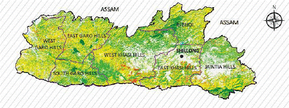
Forest Cover by District
% of geographical area under forest cover
Maps & Charts
Who Manages the Forests?
Due to the prevailing land tenure system, only 1,145.19 sq km of Forest areas (5.10% of Geographical area) comes directly under the control of the State Forest Department in the form of RF, PF, NP, WLS and Parks and Gardens.
The rest of the forest areas belong to communities, clans, private individuals, and the three Autonomous District Councils established under the provisions of the Sixth Schedule to the Constitution of India.
Under Para 3 of the Sixth Schedule, the District Councils have power to make laws with respect to, among others, the management of any forest not being a reserved forest.
Forest Area by Ownership
Autonomous District Councils
Three councils established under the Constitution of India govern forest management across their respective territories.
Hon'ble Supreme Court vide order dated 12.12.1996 in the case of T.N. GodavarmanThirumulkpad vs Union of India clarified that provisions enacted in the Forest Conservation Act, 1980 must apply to all forests irrespective of ownership or classification.
As per Supreme Court Order dated 15.01.1998 in the case of T. N. GODAVARMAN THIRUMALPAD Vs. UNION OF INDIA, the felling of trees in all forest areas irrespective of ownership shall be in accordance with approved Working Scheme. Only those wood based industries cleared by HPC on or before 15.01.1998 without penalty shall be allowed to shift to industrial estates.